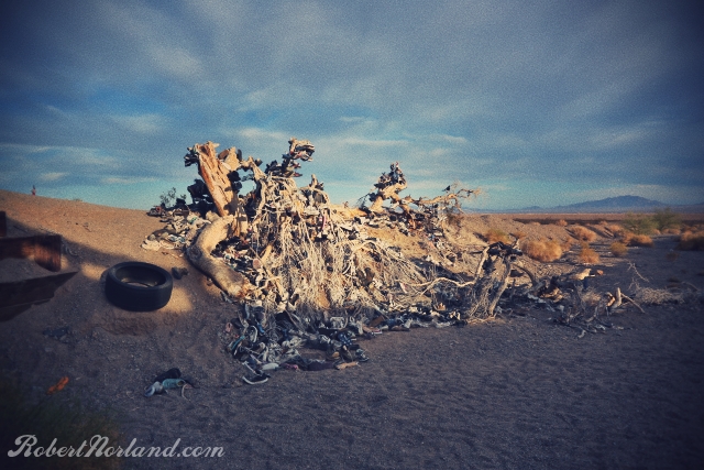
Below: The shoe log was once probably a shoe tree. It appears to have fallen over due to the weight of the trees or the weight of time. 100's of souls have left their soles here.
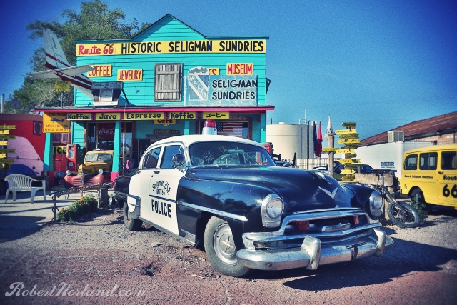
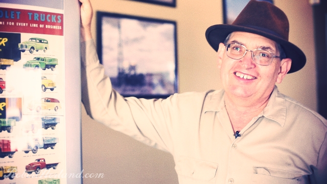
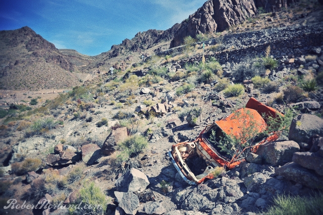
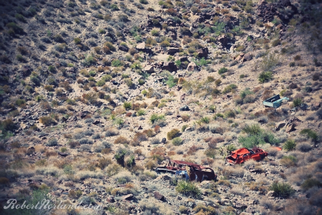
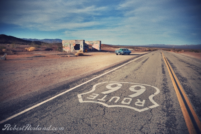
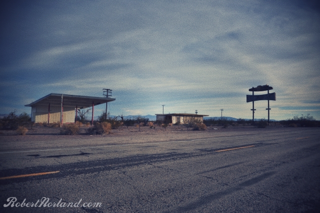
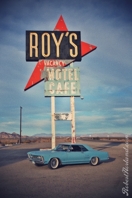
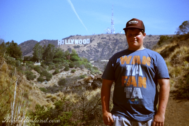
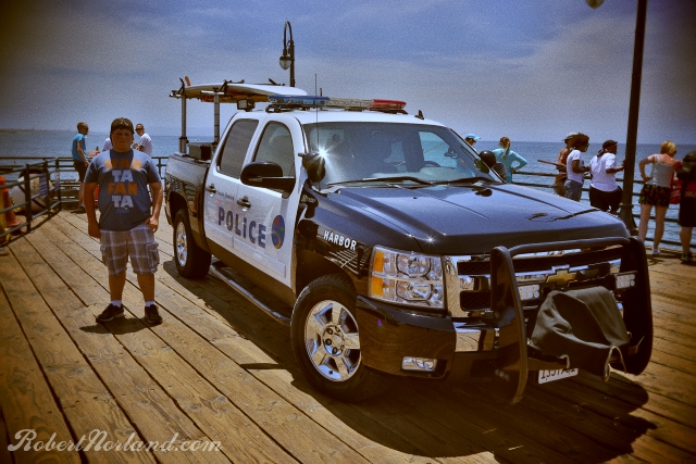
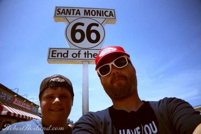
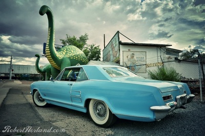
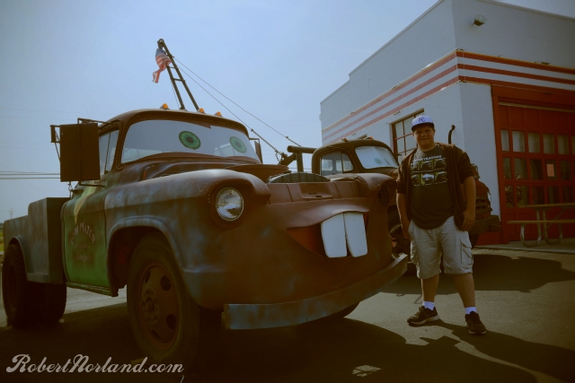
On the last day of our road trip along the Old Road, we are crusty eyed waking up in the Supai Motel in Seligman, AZ. We didn't originally intend to, but today we will push the waking light to its dusk and arrive in the land of Gold Rush and palm trees. Seligman, AZ is a small incorporation that is dripping rich with Route 66 history and curios. Seligman claims to be the birth place of Route 66, but I think it is more accurate to say the re-birth place of new 66. Nearly every old gas station in town is a gift shop and coffee house. I like the place, its like a Route 66 mall complete with Cars movie references and Route 66 roadside shield on every available space. I snapped a few early morning pictures before tour buses and motorcycles began to fill the streets. Aside from sleeping here, we didn't stay too long in Seligman. After buying a sticker, we kicked over the 425 Nailhead in the Rivi and moved along down to Kingman, AZ where we intended to met up with noted Route 66 historian and author Jim Hinckley. Jim has authored many books on Route 66 and has more stories about the road than there are square feet of asphalt and concrete on the Arizona alignment. We didn't announce our arrival formally that day, but we did talk to Jim a few days earlier - he welcomed us anyway. Jim's very thorough Route 66 blog can be found at http://route66chronicles.blogspot.com. Jim gave us first hand information regarding mysteries, tragedies and the like from Route 66. A lot what he told us will be chronicled in his new book that will be released in October called The Illustrated Route 66 Historic Atlas. Other books topics range from Ghost Towns of Route 66 and the Checker Cab Company Photo History. From Kingman, we ripped across the open desert on another 2 lane section of highway. It was somewhere between 101 and 104 degrees fahrenheit out side of the car and probably 110 inside. Oatman was our target and the notorious Oatman Highway was to deliver us there. Oatman was a gold rush mining town in the 1900's and thus it was important to put a highway through this mountain town and it alienated nearby plains town of Yucca. Later in the 40's Route 66 would be re-aligned to go through Yucca since Oatman's mining prowess was declining. The Oatman Highway still exists - a snake of a road with 15 MPH 180 degree switchbacks that you better obey or end up like the orange Datsun in the photo above. Most of the stretch to Oatman lacks any sort of guard rail today, let alone in 20's and 30's. It is a dangerous road that has claimed many lives in the last 90 years. Still today, there are many reports of motorcyclists that take those turns too fast...so just be safe and sane on this road. The photo below shows 3 other wrecks that couldn't be pulled to the road surface, so they were just left there as reminders of the treachery of this rugged rock lined roadway. Once in Oatman, we didn't stop. The town was overrun with tourist folk looking to feed the wild burros that come into the town looking for a hand out. Check Google street view for an amusing few images of burro roaming the city streets. With Oatman in our rearview mirror, we made a pact to get to Los Angeles before the days end, so any stops were going to be limited. The next 80 or so miles were very painful, unglamorous, sizzling desert miles to California. Don't need to do that again. We blew through Needles with the intention of coming back for a closer look. I'd explored the town already last year and my nephew wasn't in the mood. Our first stop since Arizona was this shell of a building on the road to Amboy and Essex. We left our tag in spray paint and keep tumbling on. Above: More abandoned structures along the road to Amboy. Below: The shoe log was once probably a shoe tree. It appears to have fallen over due to the weight of the trees or the weight of time. 100's of souls have left their soles here. Roy's in Amboy, CA is a dusty point along the road where you can water your horse and water yourself. There is a post office across the street and about 28 residents. Prior to the opening of the interstate in the 80's, this place was almost a mecca for motorists looking to get food, lodging and some liquor. Now all you will find is this giant sign, generic snacks and $5/gal gas. The sun is setting on our day, it is time to turn some RPM's if we are going to make the Los Angeles basin tonight. One last stop at In N Out for dinner and 3 hours later we arrive in the San Fernando Valley with the agreement that we would pick up the Old Route in Hollywood that next morning. A quick stop to get a long distance shot of the Hollywood sign, we then proceeded down Santa Monica boulevard to the Pacific Terminus of Route 66. The widely accepted terminus is at the Santa Monica Pier, but purists will note that the end is actually some unmarked location on Lincoln Blvd - but that's no fun! A Police truck with a surfboard - Yep, we're in California! With approximately 2800 miles of historical asphalt and concrete behind us, we have officially concluded this 11 day diversion. A feat which was uncertain; nearly cancelled the day before we left due to issues with the Riviera. I am proud to have rolled on this route, seen the history and gotten a small glimpse of what so many travelers have seen before me. Mine was a journey of whimsy, some shared this whimsy but many others felt only hardship along this continental ribbon. Still, many did not arrive at their destinations. I feel privileged and honored to have safely made it. On paper Route 66 does not exist, but as long as you find it and drive it, it will always be alive.
3 Comments
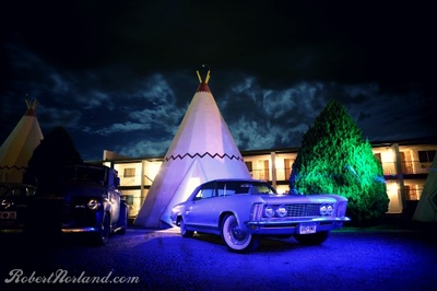
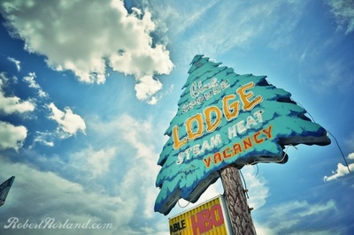
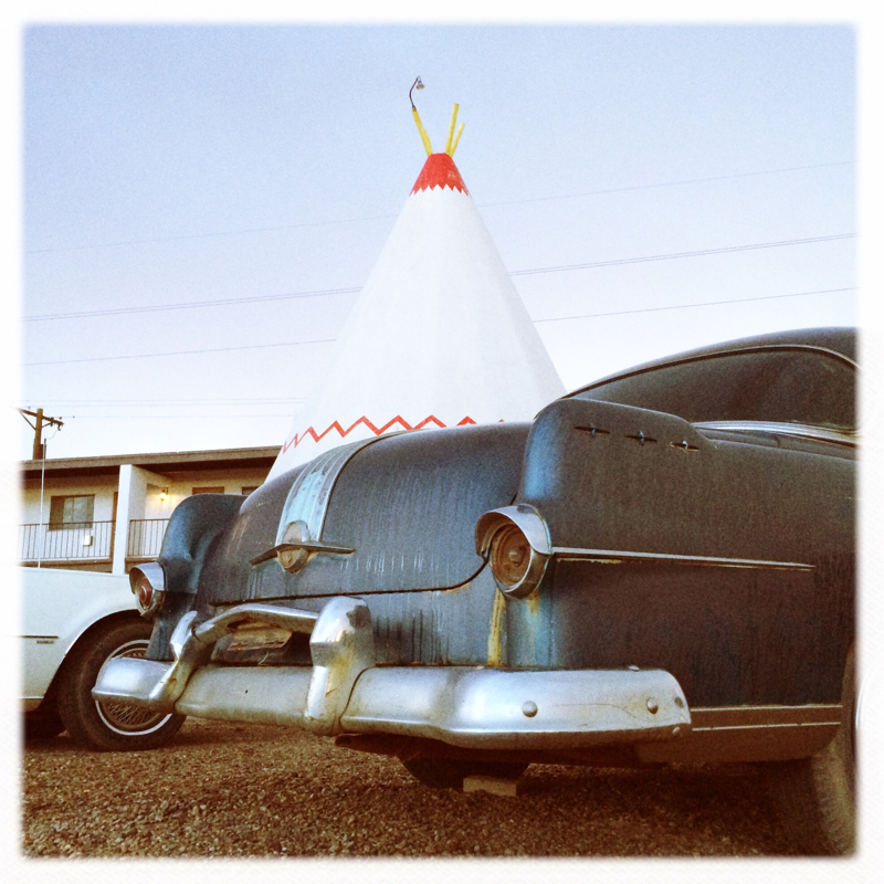
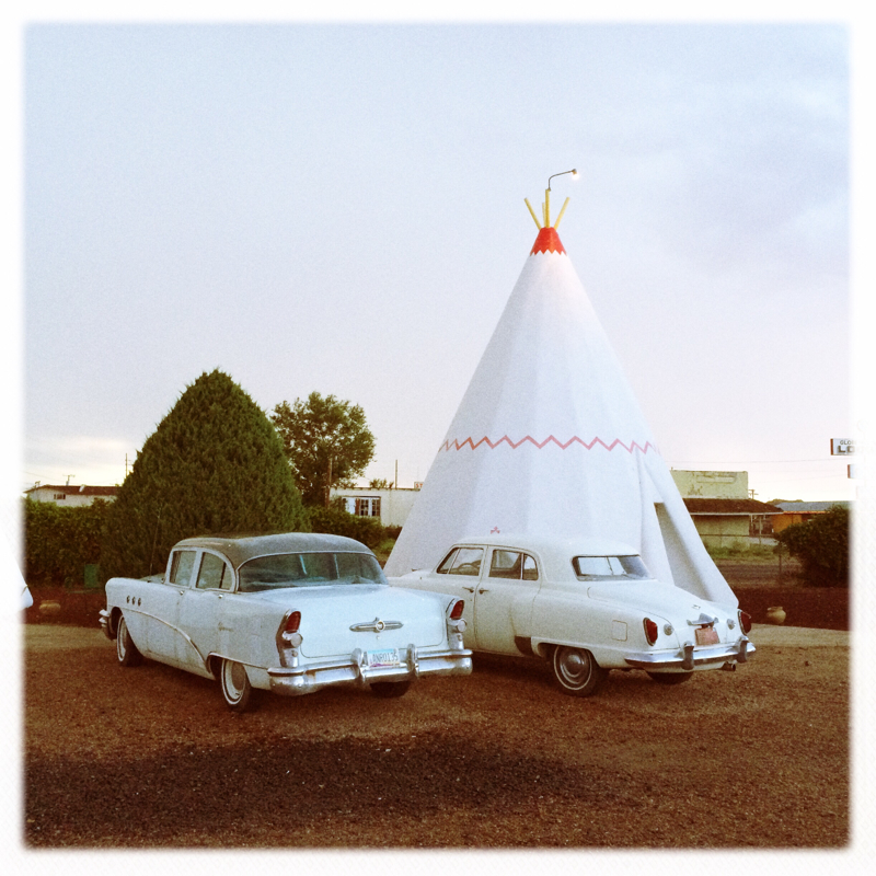
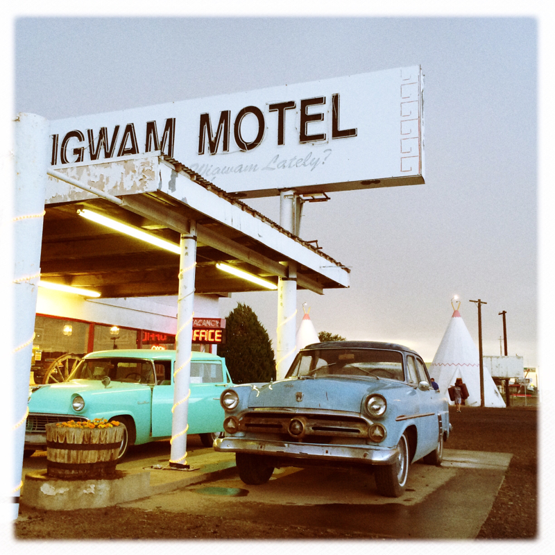
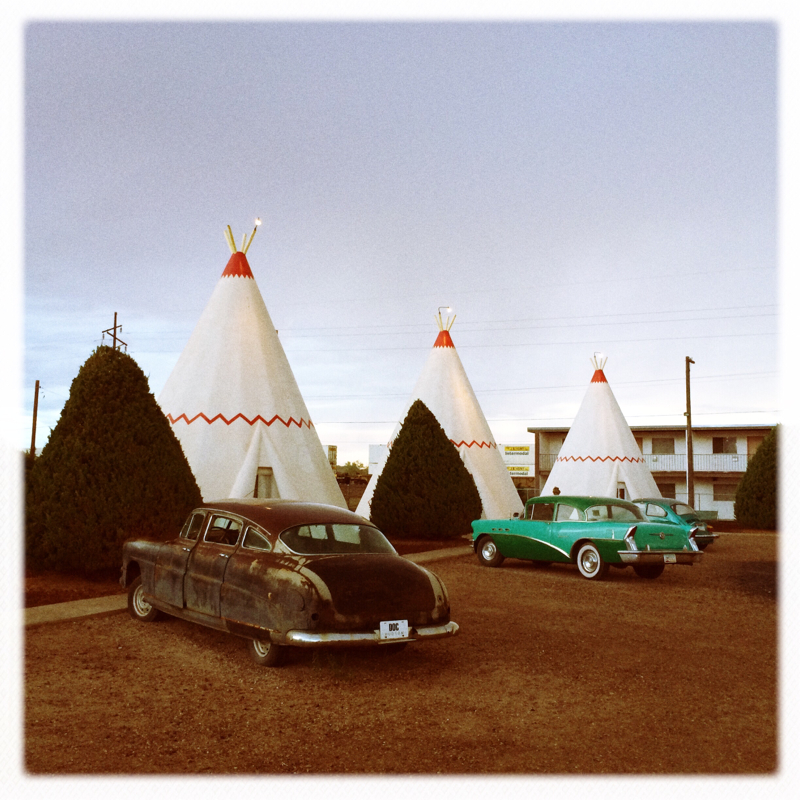
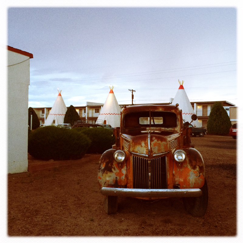
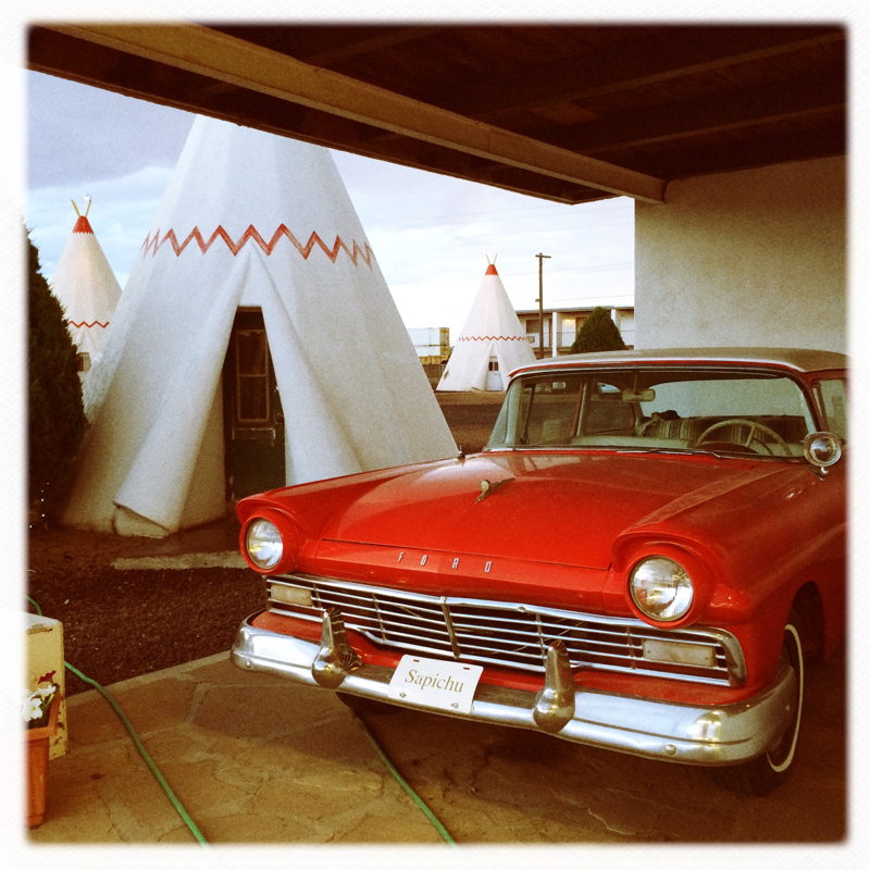
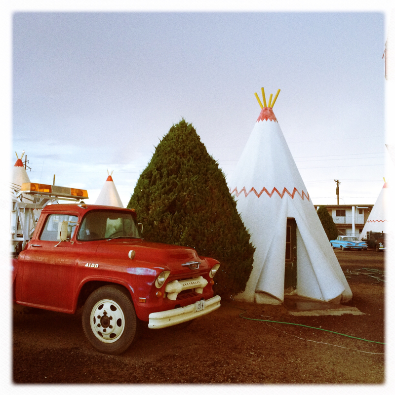
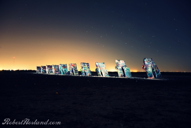
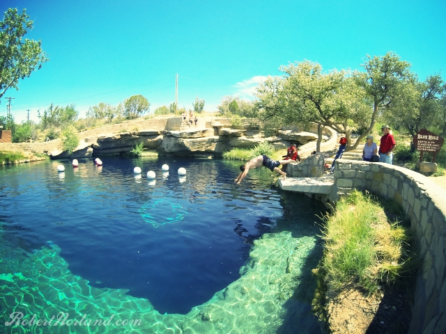
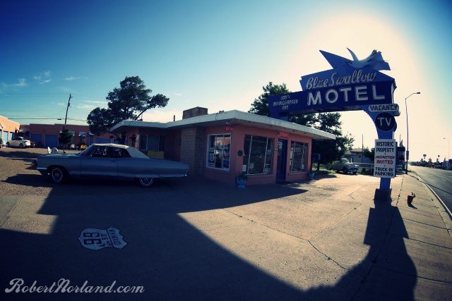
Argh, we haven't had good WIFI connection for 48 hours or so (Wigwam in Holbrook didn't have WIFI or a pool - side story - we snuck into a Super 8 and swam in their pool for 45 mins, then took off!) In the last 48 hours we saw too much stuff - today alone we went to the Meteor Crater and the drove to the South Ridge of the Grand Canyon. We are staying Seligman tonight which is a very Route 66-ized town. Tomorrow we plan on getting ice cream at Snow Cap, which looks neat...pics to tomorrow for that. Then off to Kingman to meet Jim Hinkley who is an author of s Too tired to write more, but a pic is worth a thousand words, so read these: We are enjoying our time here in Holbrook. Wig wam is a classic Americana roadside icon. There are only a few operating still. The one we are currently staying at is about 70% full so that is a good sign that that this one will be around for awhile. Here are a few pics of this awesome place: We exited Texas today and enter the land of enchantment, New Mexico. I had forgotten that little bit. We saw LOTS today, the Santa Fe loop, Blue Hole, Newkirk, Tucumcari, and a nice little thunder storm in Albuquerque. But my favorite was last nights session at the Cadillac Ranch. The Blue Hole is a sink hole that formed and filled up with fresh spring water. It located in the city of Santa Rosa, NM. The hole is 81 feet deep and was a frothy 61F water temp today. Tons of fun here at this natural swimming hole. Tucumcari had an abundance of cool shops, motels and Mother Road era signage. Last shot of the day, the drive to Grant, NM - getting chased by the storm.
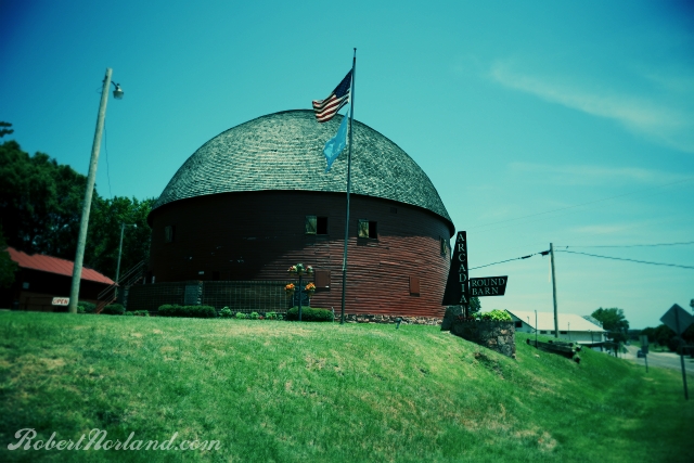
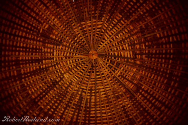
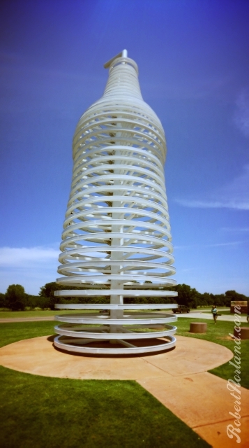
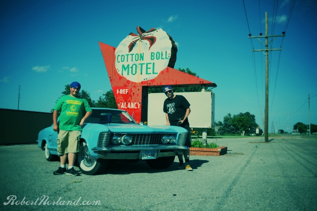
I would venture to guess that if you are under 30 you haven't experienced the Mother Road as someone would prior the closing of Route 66 in the 80's. Instead, it is likely that you spent tons of time on the massive high-speed interstates that tie this country together and missed the imaginative road side attractions of smaller roads. Route 66 offers these unique visuals and the road is special, always was, always will be. Today we saw some real great stuff to let us know that the Old Road is alive and well. First off, we met Jerry McClanahan, legendary Route 66 artist, historian and author of the EZ 66 Guide - The book we are using to guide us through this disconnected series of alignments. Jerry is a welcoming easy going guy. He hosted us in his art studio on Manvel Street in Chandler Ok. Definitely pay Jerry a visit when you are in the area. Jerry's assessment of the road reassured us that it is alive and well - which confirmed what we have seen up to this point on the road. A Route 66 fanatic, Jerry traveled the road when he was young with his family, but rarely made stops to visit attractions. His love for the road is evident in the renderings he paints and the exploration he endeavors on. Jerry and his friend were some of the first to map out abandoned alignments of the road. Thanks for your hospitality Jerry, we'll see you again! Above is the round barn in Arcadia, OK. This barn was restored starting in 1992 after nearly falling apart due to neglect. This restored relic is a sign that the old road is alive and well. Below is a shot of the roof structure looking up from the inside of the barn. Just a 1/2 mile down from the round barn is Pop's. This is a new style diner with thousands of different soda selections for you to choose from. Today, the parking lot was completely full (200 cars) proof that kicks are still being had on 66. Below is the ring bottle that sits roadside to lure passers by in to Pop's. It looks much cooler at night! Here is todays Riviera selfie with Erick and I at the old Cotton Boll Motel in Canute, no longer operating.
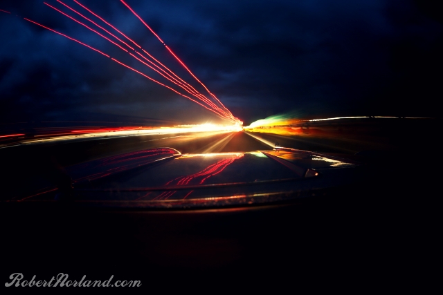
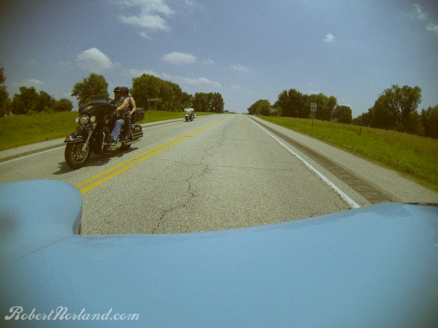
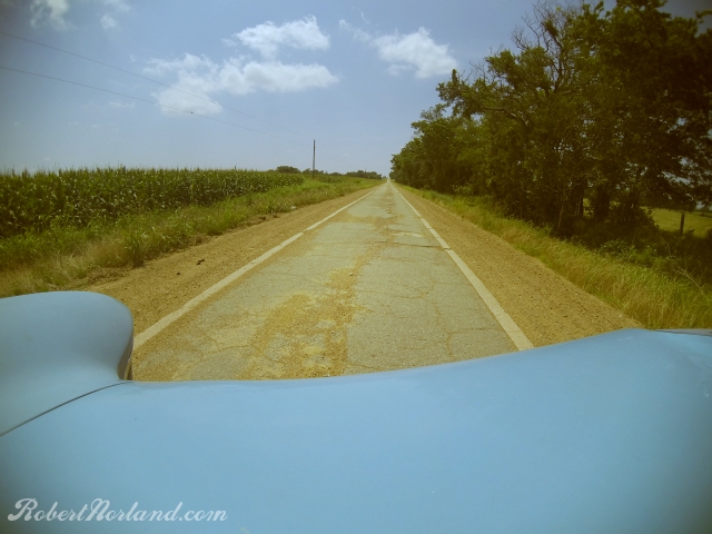
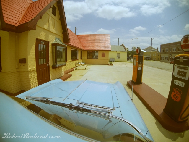
We are bumbling across route 66 in search of mysteries, ghost stories or local legends. Today in Galena KS, we struck lead. Well, thats usually bad, but here its good. You see, in the early years of the town, Galena was a lead mining town, with lots of lead miners. When you have lots of guys working hard, they usually like to gamble and drink hard too. Since there was no inter-web back in them days, they used to go to good old fashioned bordello's. Galena there is a recently restored house that used to be a bordello, then a nursing home. Rumor is that the son of the madam used to murder lead miners for their sundries, cash and other valuables. Scary stuff. More on that later in a future documentary. Todays blog, I wanted to show you some of what we have been seeing from the road. BTW, that town in Kansas, Galena....many points in that town inspired what was seen in the movie Cars and Cars 2, including a neat lady by the name of Melba the Mouth. Well, any way....here is the view from the hood: Above is a section of 2 lane Route 66, just before of Afton. We've been seeing lots of bikers traveling the route. Here is a surviving single lane section of the road. This is actually designated as a route 66 land mark. This is between Miami OK and Afton OK. Back in the day, you would drive the center of the road and when you met a car, you would drive half on the pavement and half on the gravel shoulder. Scary stuff at night! We only saw one other car out there, so not too much traffic. Baxter Springs, KS, restored Phillips 66 station - This is where we had muffler issues. The final shot of the day...rolling into Chandler OK, a quick picture at the Lincoln Motel.
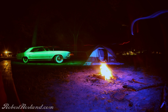
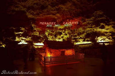
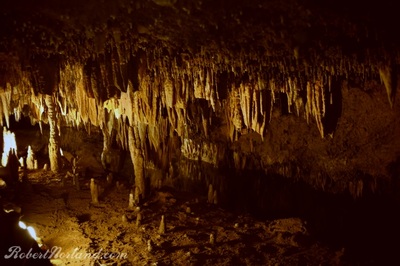
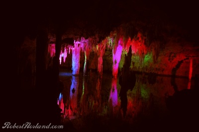
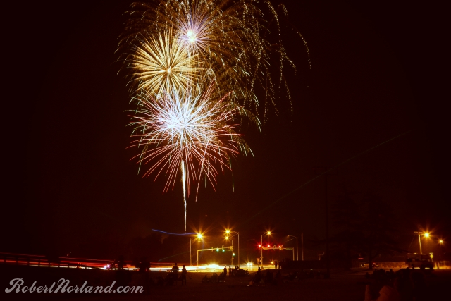
Ok, the title of this one is a bit cheesy, but cut me some slack, I camped last night, was woke early by mariachi music from the neighboring camp and drove all day to get to Joplin, MO. Erick and I camped at the famous Meramec Caverns outside of Stanton, MO. My excitement to photograph an underground cave formed by millions of years of steady drips meant that I was tolerant enough not too pick a fight with the neighboring camp (although I did look for ways to cut their power to no success). In a nutshell, did Meramec live up to the amazingness that was promised on the 47 billboards I was subjected to along route 66? Yes and no, lets just say this is a true roadside gem, but lets leave the cheese business to our friends in Wisconsin. After the last rock joke was told via our 23 year old Pat Sajac wannabe, I left happy. We ended our day by checking into the Plaza Hotel....not the real one, not by along shot. We found some locals gathering at what appeared to be a future fireworks show. I recognized the telltale signs, cars parked on grass lots, everyone facing toward a direction where there is nothing happening (yet), blankets, fold up beach/lawn chairs and kids running in circles. Here is a shot from the show we enjoyed so far away from our family and friends, miss you all, see you soon!
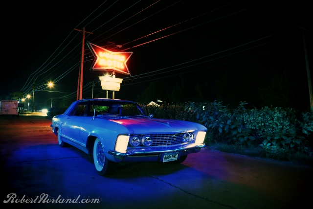
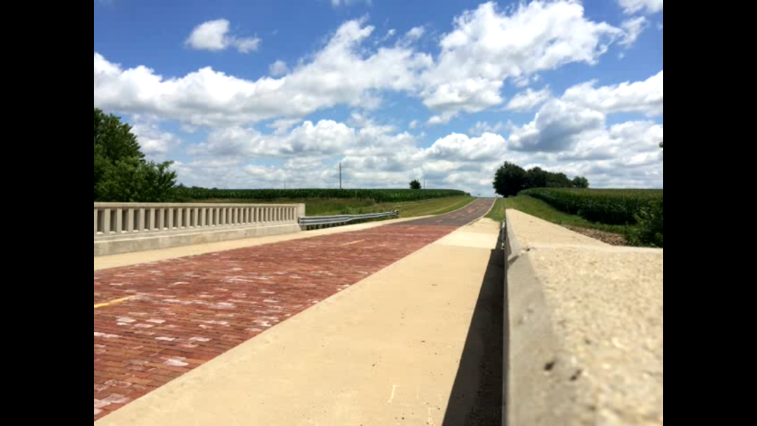
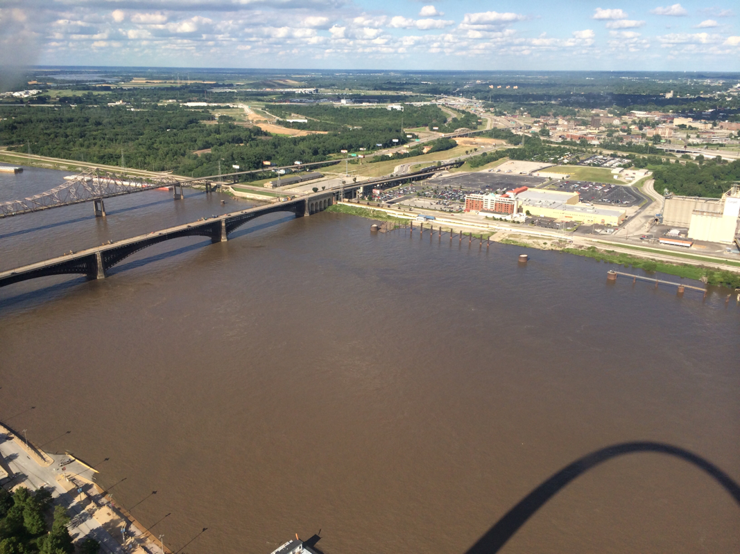
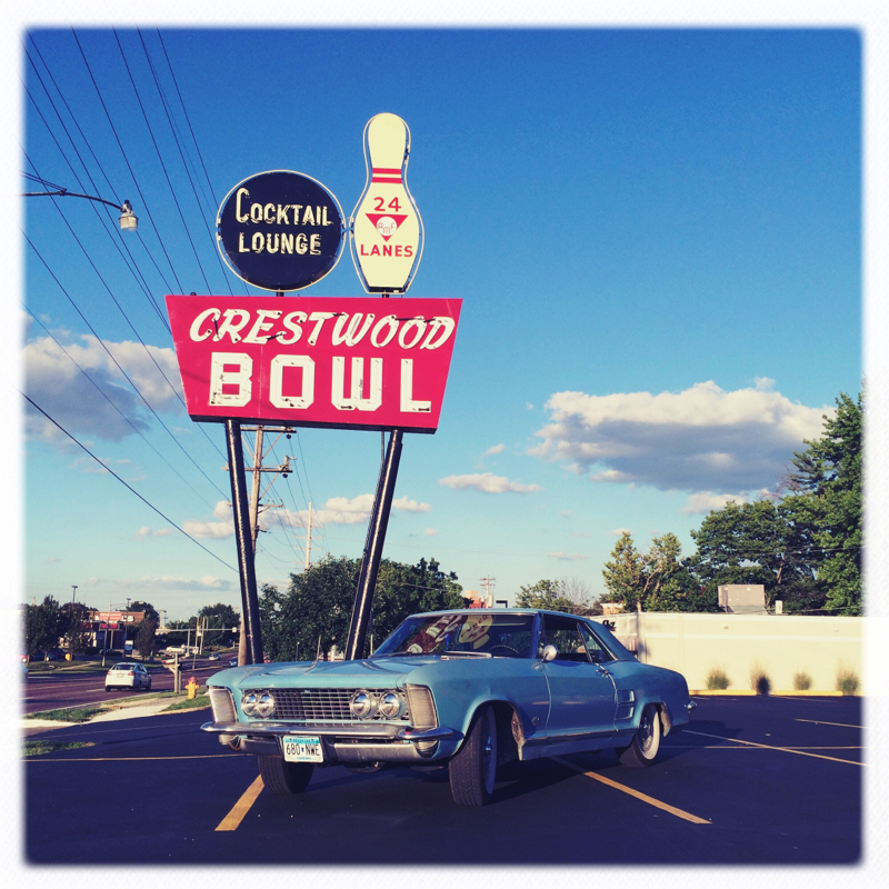
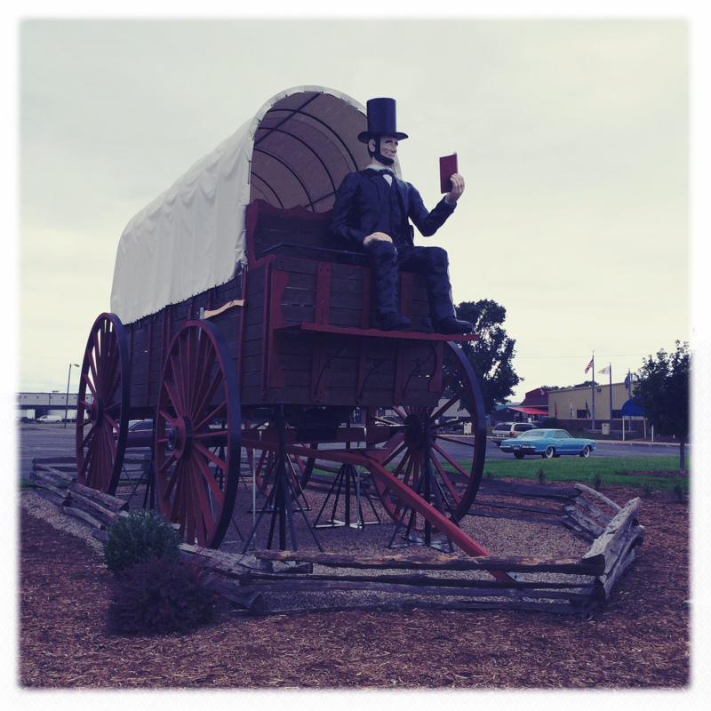
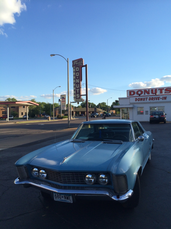
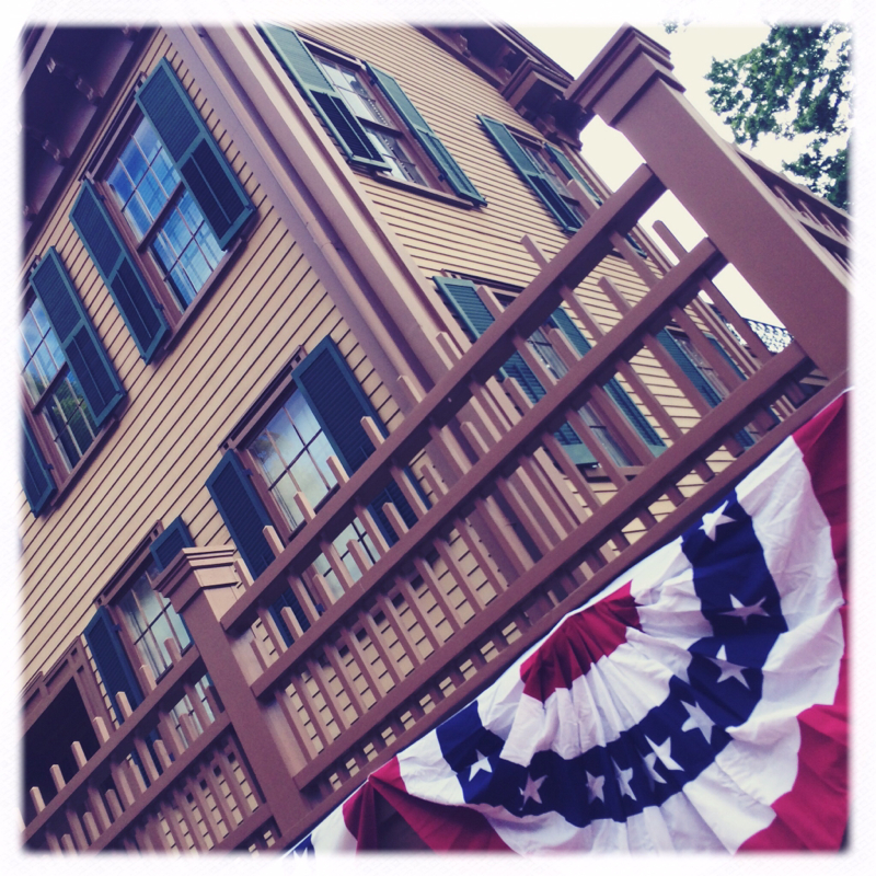
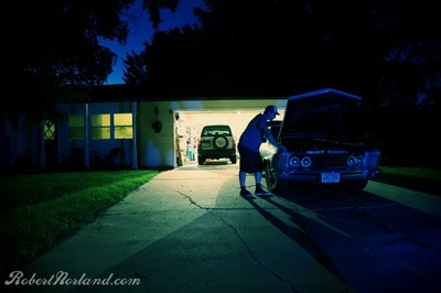
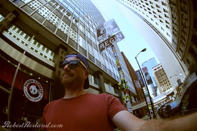
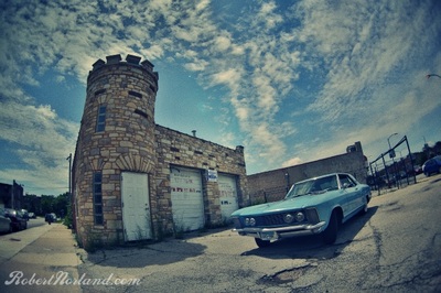
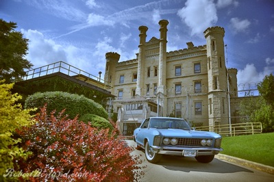
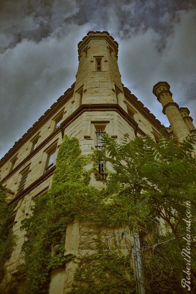
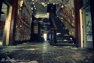
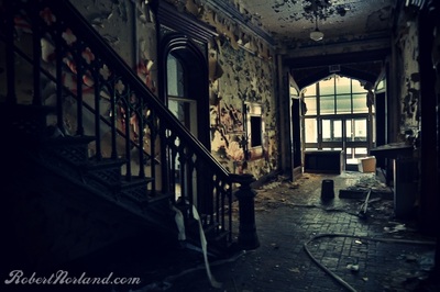
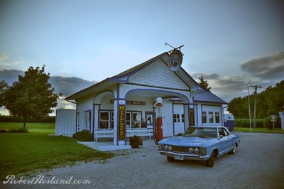
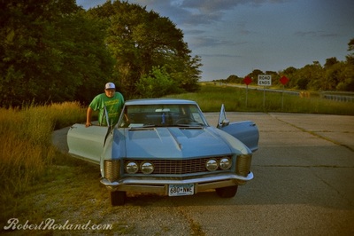
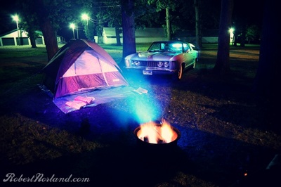
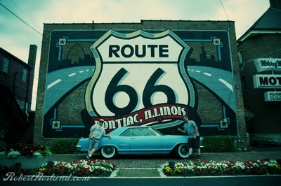
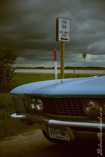
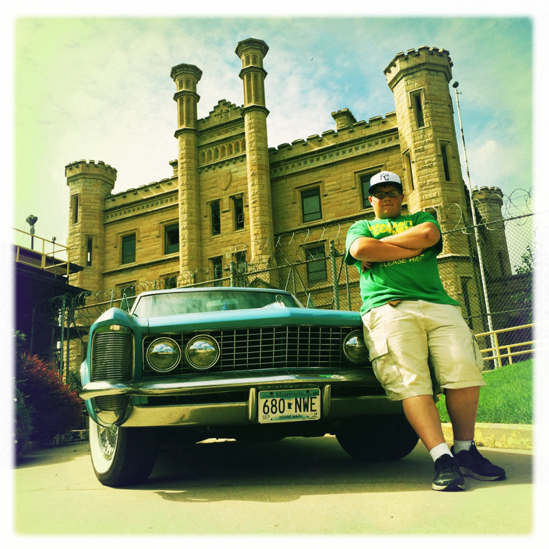
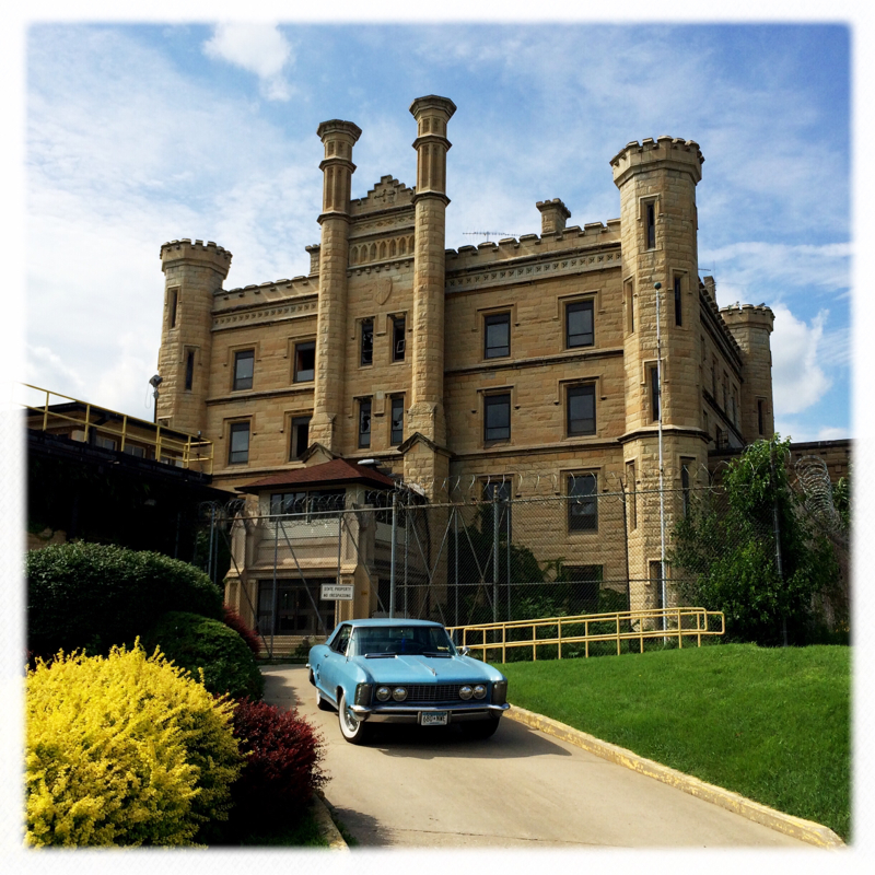
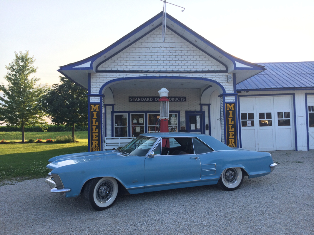
The road is oh so magnificent. Yesterday we some some sections of the road, an early alignment, that is still brick. St. Louis proved to be a mini Chicago with their parking situation and construction. This arch was designed in 1947 and completed while the Cold War was in full swing, so Erick and I speculate that there are nuclear bunkers down there by the arch- long story. The Riv was a champ today, running strong but guzzling more petrol than a B-17 in a full climb. None the less we saw lots. Wow, did so much yesterday, I almost forgot that we also saw Lincoln's home in Springfield. Todays blog post is simply about some of my favorite images that we've (Erick and I) have been able to experience. From the night before departure, to our incarceration at the Joliet State Prison and a shot from out first camp site. Enjoy the gallery. Well day number two is over and we ended up in Pontiac Illinois. We saw the likes of Joliet Illinois and many other small towns along Route 66. The Riviera had a heyday today fitting in with roadside landmarks and all the little towns we visited, particularly the old prison in Joliet. You know the one you saw it in the blues Brothers movie. At the beginning, Elwood picks up Jake from the eastgate of the Joliet prison. The Riviera enjoyed photo shoots at lots of locations today, a mobile station and an 1920s gas station in Odell. It communed a bit with 65 riviera parked in a garage. Grinning from grill to grill it smiled. I'm proud of her, my Riviera she got us this far, praying she'll get us the rest of the route! |
 RSS Feed