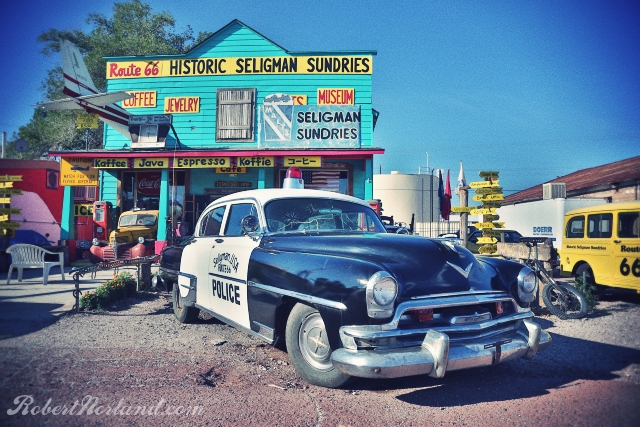
On the last day of our road trip along the Old Road, we are crusty eyed waking up in the Supai Motel in Seligman, AZ. We didn't originally intend to, but today we will push the waking light to its dusk and arrive in the land of Gold Rush and palm trees. Seligman, AZ is a small incorporation that is dripping rich with Route 66 history and curios. Seligman claims to be the birth place of Route 66, but I think it is more accurate to say the re-birth place of new 66. Nearly every old gas station in town is a gift shop and coffee house. I like the place, its like a Route 66 mall complete with Cars movie references and Route 66 roadside shield on every available space. I snapped a few early morning pictures before tour buses and motorcycles began to fill the streets.
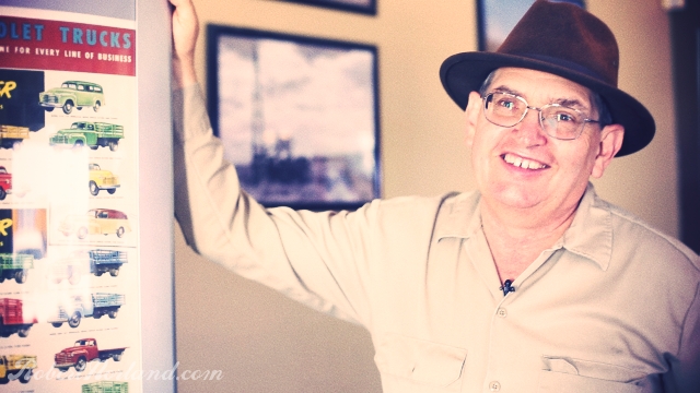
Aside from sleeping here, we didn't stay too long in Seligman. After buying a sticker, we kicked over the 425 Nailhead in the Rivi and moved along down to Kingman, AZ where we intended to met up with noted Route 66 historian and author Jim Hinckley. Jim has authored many books on Route 66 and has more stories about the road than there are square feet of asphalt and concrete on the Arizona alignment. We didn't announce our arrival formally that day, but we did talk to Jim a few days earlier - he welcomed us anyway.
Jim's very thorough Route 66 blog can be found at http://route66chronicles.blogspot.com. Jim gave us first hand information regarding mysteries, tragedies and the like from Route 66. A lot what he told us will be chronicled in his new book that will be released in October called The Illustrated Route 66 Historic Atlas. Other books topics range from Ghost Towns of Route 66 and the Checker Cab Company Photo History.
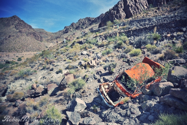
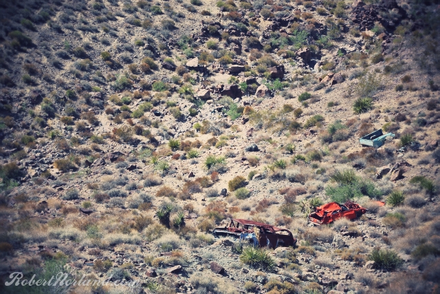
From Kingman, we ripped across the open desert on another 2 lane section of highway. It was somewhere between 101 and 104 degrees fahrenheit out side of the car and probably 110 inside. Oatman was our target and the notorious Oatman Highway was to deliver us there. Oatman was a gold rush mining town in the 1900's and thus it was important to put a highway through this mountain town and it alienated nearby plains town of Yucca. Later in the 40's Route 66 would be re-aligned to go through Yucca since Oatman's mining prowess was declining. The Oatman Highway still exists - a snake of a road with 15 MPH 180 degree switchbacks that you better obey or end up like the orange Datsun in the photo above. Most of the stretch to Oatman lacks any sort of guard rail today, let alone in 20's and 30's. It is a dangerous road that has claimed many lives in the last 90 years. Still today, there are many reports of motorcyclists that take those turns too fast...so just be safe and sane on this road. The photo below shows 3 other wrecks that couldn't be pulled to the road surface, so they were just left there as reminders of the treachery of this rugged rock lined roadway.
Once in Oatman, we didn't stop. The town was overrun with tourist folk looking to feed the wild burros that come into the town looking for a hand out. Check Google street view for an amusing few images of burro roaming the city streets. With Oatman in our rearview mirror, we made a pact to get to Los Angeles before the days end, so any stops were going to be limited. The next 80 or so miles were very painful, unglamorous, sizzling desert miles to California. Don't need to do that again.
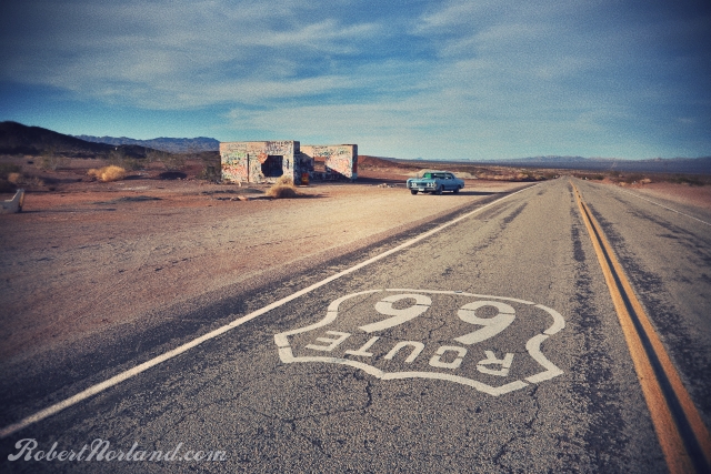
We blew through Needles with the intention of coming back for a closer look. I'd explored the town already last year and my nephew wasn't in the mood. Our first stop since Arizona was this shell of a building on the road to Amboy and Essex. We left our tag in spray paint and keep tumbling on.
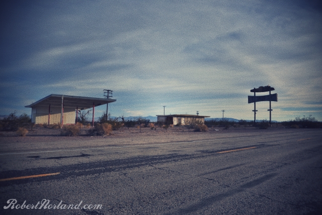
Above: More abandoned structures along the road to Amboy.
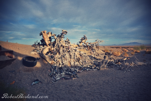
Below: The shoe log was once probably a shoe tree. It appears to have fallen over due to the weight of the trees or the weight of time. 100's of souls have left their soles here.
Below: The shoe log was once probably a shoe tree. It appears to have fallen over due to the weight of the trees or the weight of time. 100's of souls have left their soles here.
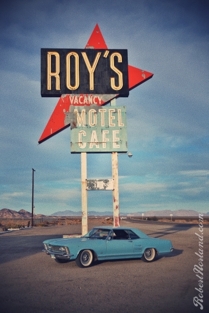
Roy's in Amboy, CA is a dusty point along the road where you can water your horse and water yourself. There is a post office across the street and about 28 residents. Prior to the opening of the interstate in the 80's, this place was almost a mecca for motorists looking to get food, lodging and some liquor. Now all you will find is this giant sign, generic snacks and $5/gal gas.
The sun is setting on our day, it is time to turn some RPM's if we are going to make the Los Angeles basin tonight. One last stop at In N Out for dinner and 3 hours later we arrive in the San Fernando Valley with the agreement that we would pick up the Old Route in Hollywood that next morning.
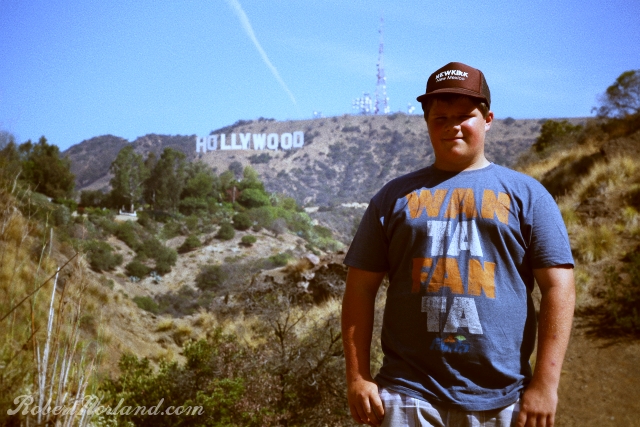
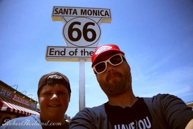
A quick stop to get a long distance shot of the Hollywood sign, we then proceeded down Santa Monica boulevard to the Pacific Terminus of Route 66. The widely accepted terminus is at the Santa Monica Pier, but purists will note that the end is actually some unmarked location on Lincoln Blvd - but that's no fun!
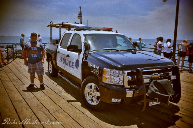
A Police truck with a surfboard - Yep, we're in California!
With approximately 2800 miles of historical asphalt and concrete behind us, we have officially concluded this 11 day diversion. A feat which was uncertain; nearly cancelled the day before we left due to issues with the Riviera. I am proud to have rolled on this route, seen the history and gotten a small glimpse of what so many travelers have seen before me. Mine was a journey of whimsy, some shared this whimsy but many others felt only hardship along this continental ribbon. Still, many did not arrive at their destinations. I feel privileged and honored to have safely made it. On paper Route 66 does not exist, but as long as you find it and drive it, it will always be alive.
 RSS Feed